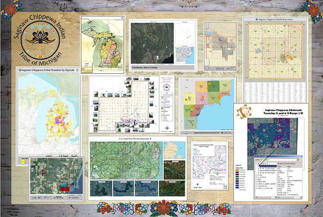
Geographical Information System Administration
GIS (Geographical Information System) is a collection of computer
hardware, software, and geographic data for capturing, managing, analyzing, and
displaying all forms of geographically referenced information. GIS links a location
to information such as people to addresses, buildings to parcels, or streets within
a network. Multiple layers of information help give a better understanding of how
it all works together. You choose what layers to combine based on what questions
you need to answer. GIS also gives you the tools to interpret data, allowing you
to see relationships, patterns, or trends intuitively that are not possible to see
with traditional charts, graphs, and spreadsheets.
Mission Statement
To use the GIS and spatial data to support in the protection of heritage and environment, economic development, Tribal infrastructure, community health, land use, and natural
resources management.
Using the Geographic Information System (GIS), the staff will enable the departments, managers and outside vendors to make decisions impacting the future of the Saginaw
Chippewa Indian Tribe in an informed and logical manner.
We will do this by providing and maintaining geospatial data in a way that allows others to see
the demands and solutions visually.
Download a GIS Poster .pdf
"As some of the earliest adopters of Geographic Information System (GIS)Technology, Native American tribal governments have used GIS to supports thousand's of programs and initiatives."
[Jack Dangermond, President,ESRI, In the forward to the book: Tribal GIS - Supporting Native American Decision Making]